
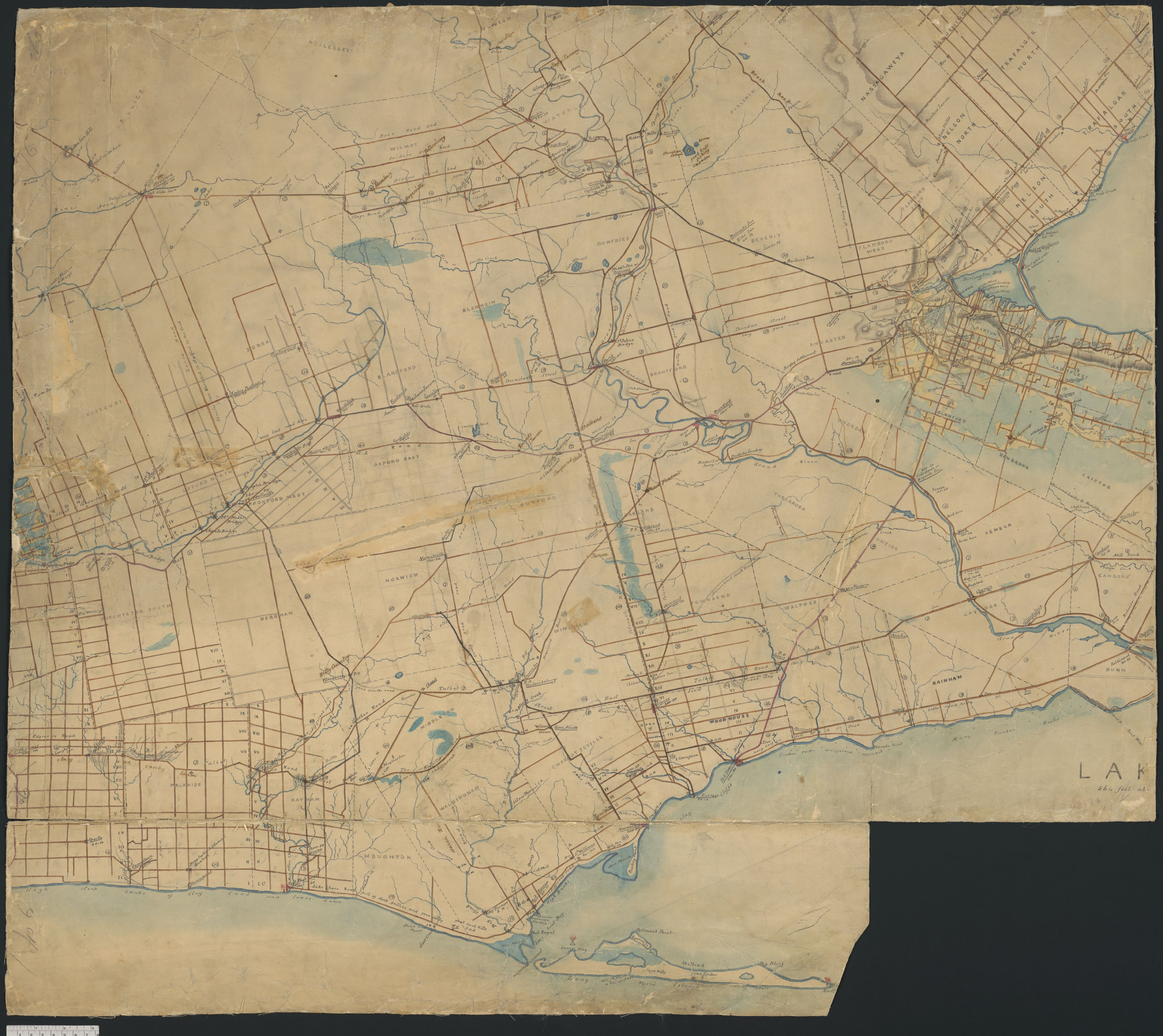
Probably my favourite map for all the little details it contains. Apparently Puslinch lake had good bass fishing. Old Stage Rd was considered an old road even back then. I’d love to know more of the history behind that. Dundas St was shite past Woodstock. It even mentions good and bad inns.
Every time I look at this map there’s something new I discover.
Is this an 1850 road map?
Kind of. Keep in mind this era travel is by horse, horse and wagon, or more commonly simply on foot. Travel time is measured in days so it’s important to know where inns are and which roads are considered decent. Decent meaning not being an absolute mudhole. That’s why the map has so many little notes.
Fascinating. I’m going to download this map and superimpose it over a recent or current map.
Very cool! I wish it showed London.