
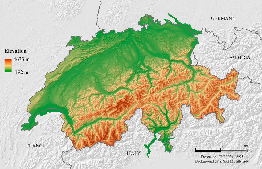
For example on wikipedia for Switzerland it says the country has an area of 41,285 km². Does this take into account that a lot of that area is actually angled at a steep inclination, thus the actual surface area is in effect larger than what you would expect when looking onto a map in satellite view?
This is the same problem as with coastline length - the higher resolution you’ll use, the bigger the number you’ll get. AFAIK this is solved by just standarization of calculation methods - there’s just certain rounding to be applied in all cases so you get a comparable results